Real-world city context, anywhere.
GeoForge generates the city around your project from open data and delivers it as a native Unreal project, with editable materials and regional facades.
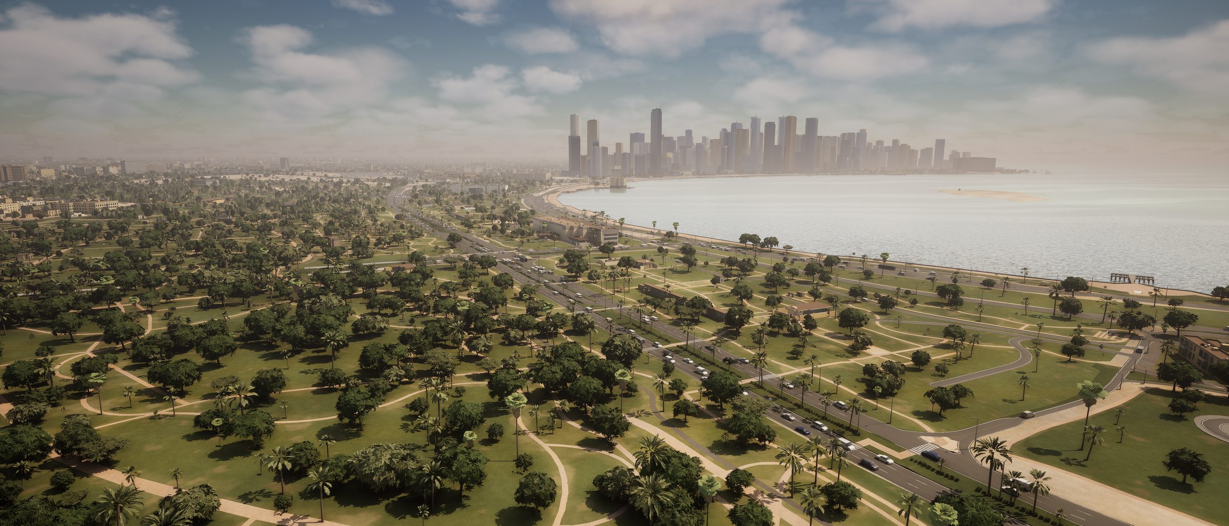 © OpenStreetMap contributors
A complete city around your project.
Buildings
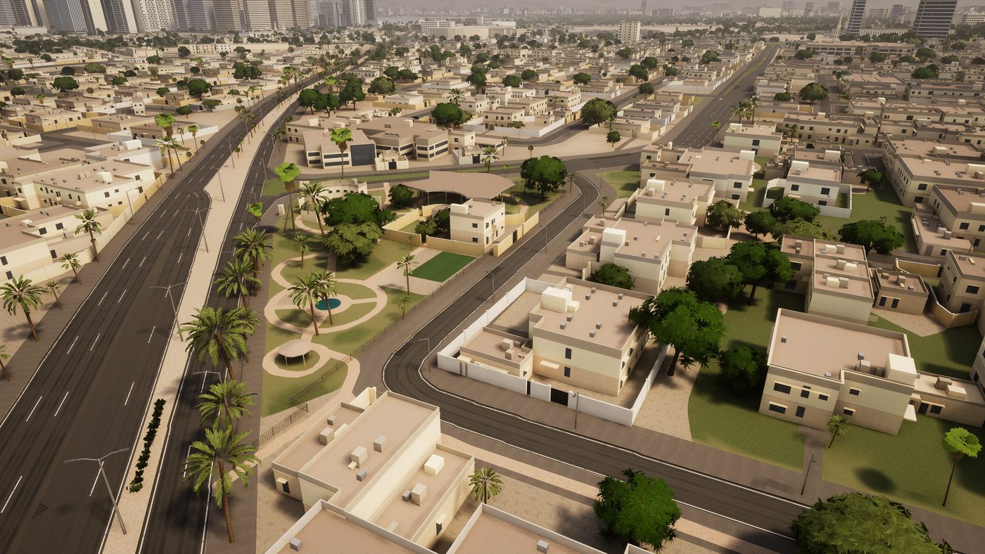
Per typeFacadesReal footprints and heights, built out as full buildings: windows, doors, balconies, canopies and roof detail, generated per building type and styled to the region. Gulf, South Asian, European and more. Far beyond extruded blocks.
Roads
Real widthStreetsStreets at their real widths, laid as surfaces over the terrain, with paths and cycle lanes where the data has them.
Traffic and street furniture
AnimatedTrafficCars that drive the road network, and street furniture placed automatically: streetlights along the roads, benches and shade structures where the setting calls for them.
Terrain
GlobalElevationReal elevation on a custom terrain mesh, with land cover for water, parks, sand, fields and urban ground.
Vegetation and sky
Lat / lonSun positionTrees and planting scattered from land cover, and a sky with the sun placed for the real location, date and time.
From a coordinate to an Unreal project.
Send a site and a size
Give us the site centre and pick a tier from 1 to 20 km. The context ring around it comes included.
We build the city
GeoForge generates the location and we check every layer against the delivery notes before it leaves.
Open it in your setup
A native Unreal project with editable materials, delivery notes and data attribution, plus support until it runs in your pipeline.
Any city, generated.
Every image below is generated from open data. No scans, no photogrammetry, no manual modelling.
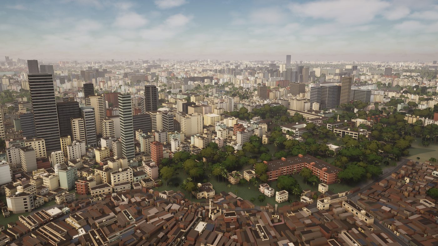 © OpenStreetMap contributors
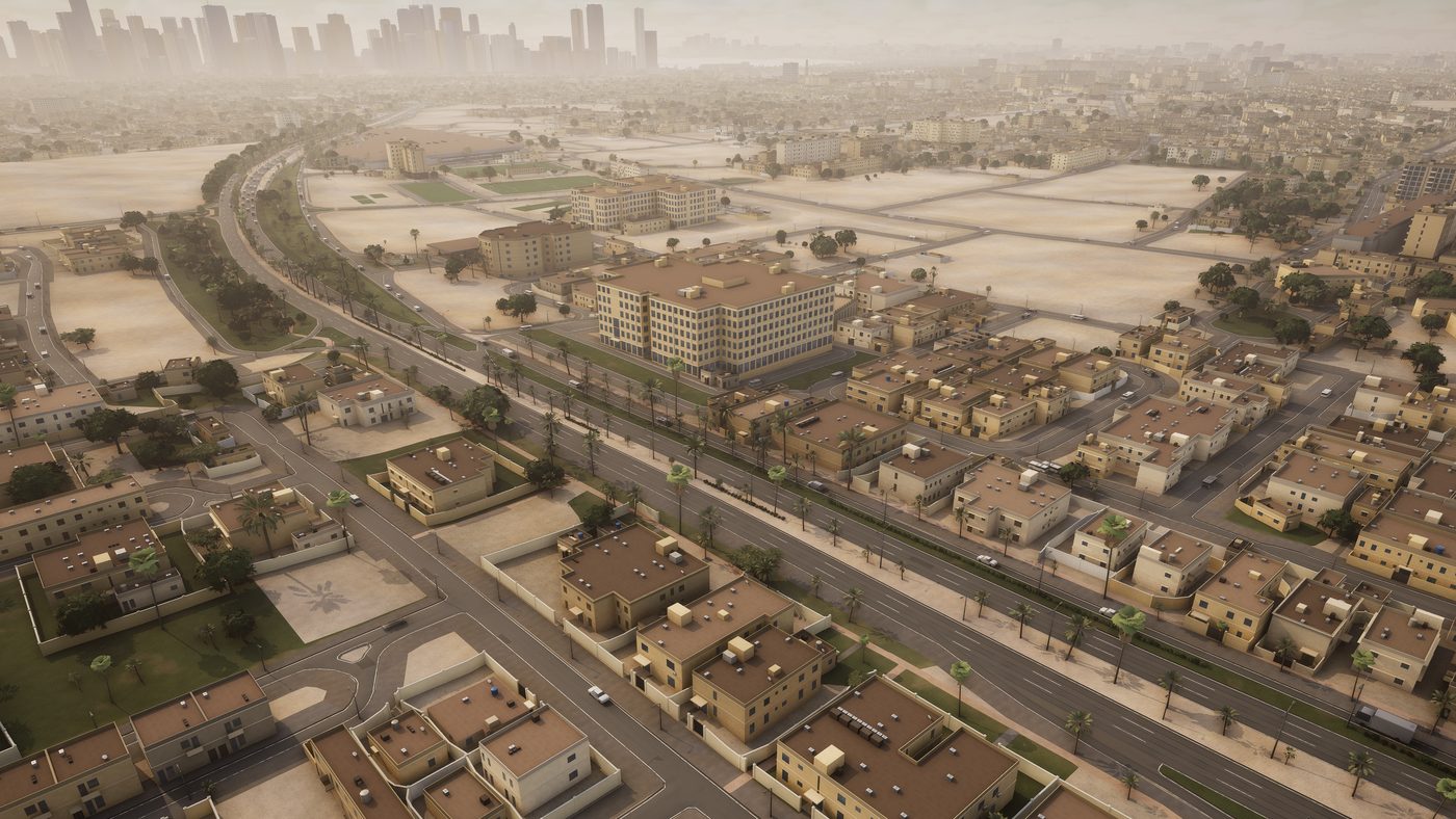 © OpenStreetMap contributors
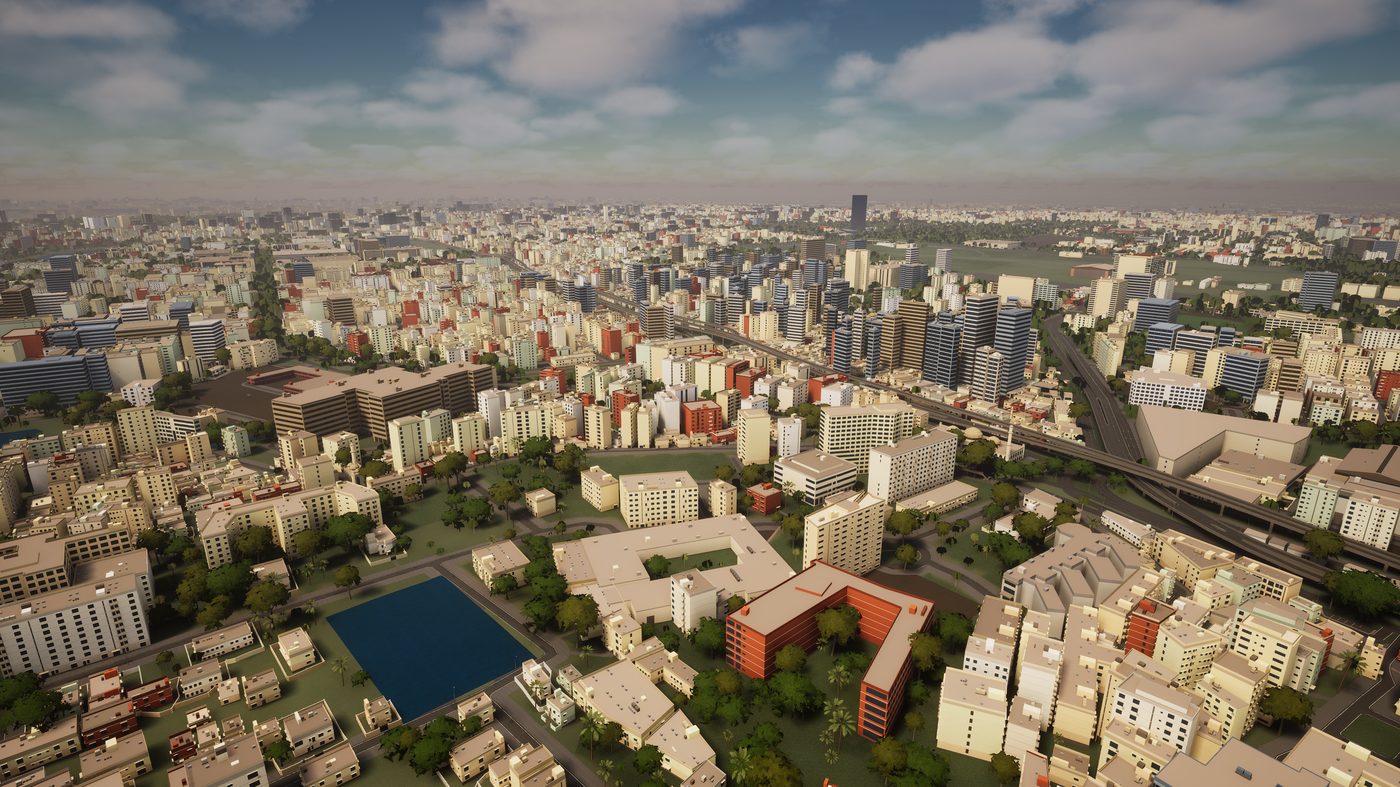 © OpenStreetMap contributors
 © OpenStreetMap contributors
Coverage tiers.
Priced per location. Every tier includes the context beyond the detailed core.
 © OpenStreetMap contributors
| Tier | Detailed core | Context beyond edge | Total footprint |
|---|---|---|---|
| Street | 1 km | 4 km | 9 × 9 km |
| Block | 2 km | 8 km | 18 × 18 km |
| District | 5 km | 25 km | 55 × 55 km |
| City | 7 km | 42 km | 91 × 91 km |
| Metro | 12 km | 72 km | 156 × 156 km |
| Region | 20 km | 160 km | 340 × 340 km |
Need more than a region, or a custom shape? Larger and custom extents are scoped per project. Ask for the price list.
EXE Interactive
EXE Interactive is a real-time 3D studio in the Netherlands, founded by Ayhan Demirbas. It builds on 12 years of Unreal Engine development, from games to the digital twins and architectural visualization of recent years.
GeoForge grew out of that work: a pipeline that builds the city around a site, so studios can focus on their own design instead of modelling the surroundings.
Have a location in mind?
- Ayhan@exe-interactive.com
- Ayhan Demirbas
- Studio
- EXE Interactive, Voorschoten, NL